IMPORTANT USER ALERT (2 July 2024): This past weekend, a storage server at NOAA's Center for Satellite Applications and Research, which delivers the NOAA Coral Reef Watch data, suffered a hardware failure. The issue is being addressed, and we hope to have the NOAA Coral Reef Watch data back up and running as soon as possible. (1) The most recent data will be made available first; historical data may take time to be restored. (2) If you need specific data that are not yet available, please contact us at coralreefwatch@noaa.gov. (3) If you use code to pull data, please revise your code to use “…/socd/…” in lieu of “…/sod/…” in all relevant web addresses for all future needs. We apologize for any inconvenience this may cause.

Year-to-date Minimum Global 5km Satellite Sea Surface Temperature
(Version 3.1, released August 1, 2018)
Global Year-to-date Minimum 5-km Satellite Sea Surface Temperature image
Current Daily Variables:
Alert Area (7-day max) DHW HotSpot SST Anomaly SST Trend
Year-to-date Maximum:
Alert Area DHW HotSpot SST Anomaly
-----
Year-to-date Minimum:
-----
-----
-----
SST
Anomaly
-----
Year-to-date Mean:
-----
-----
-----
SST Anomaly
-----
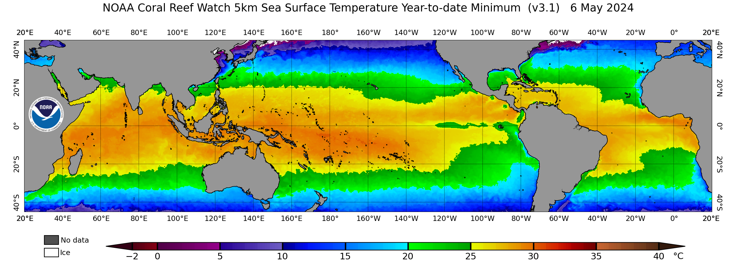
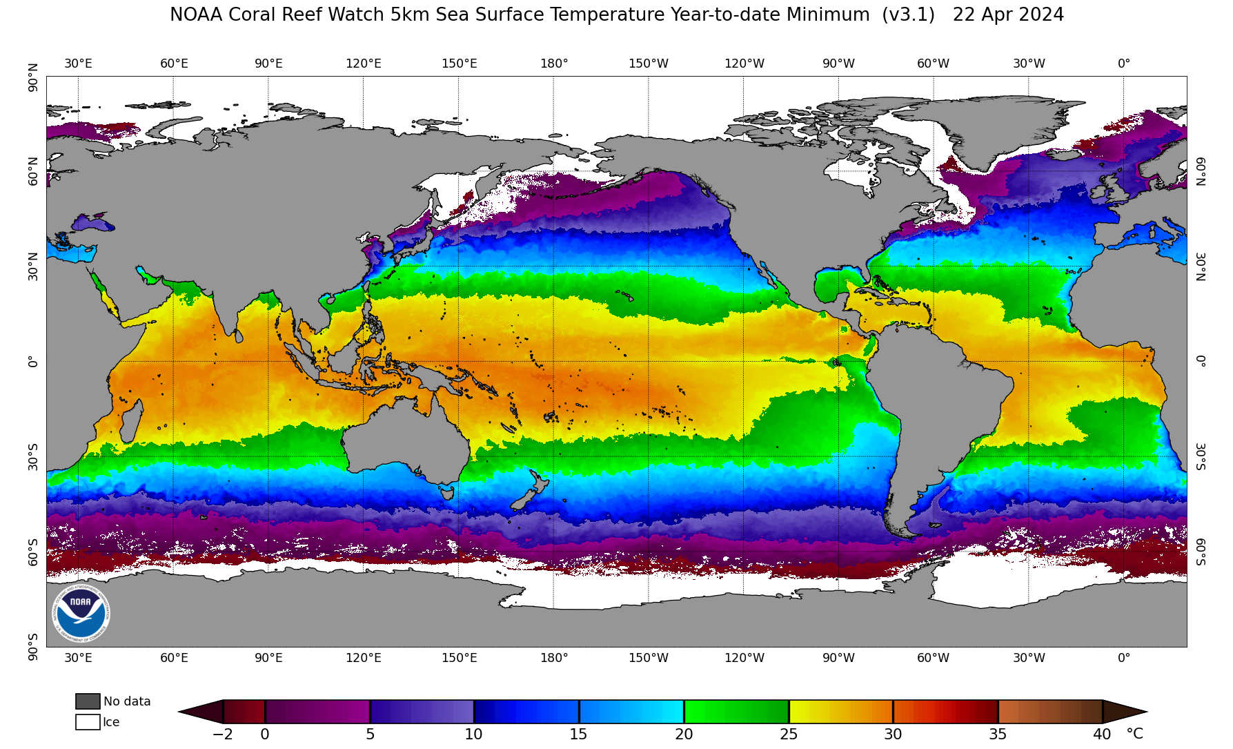
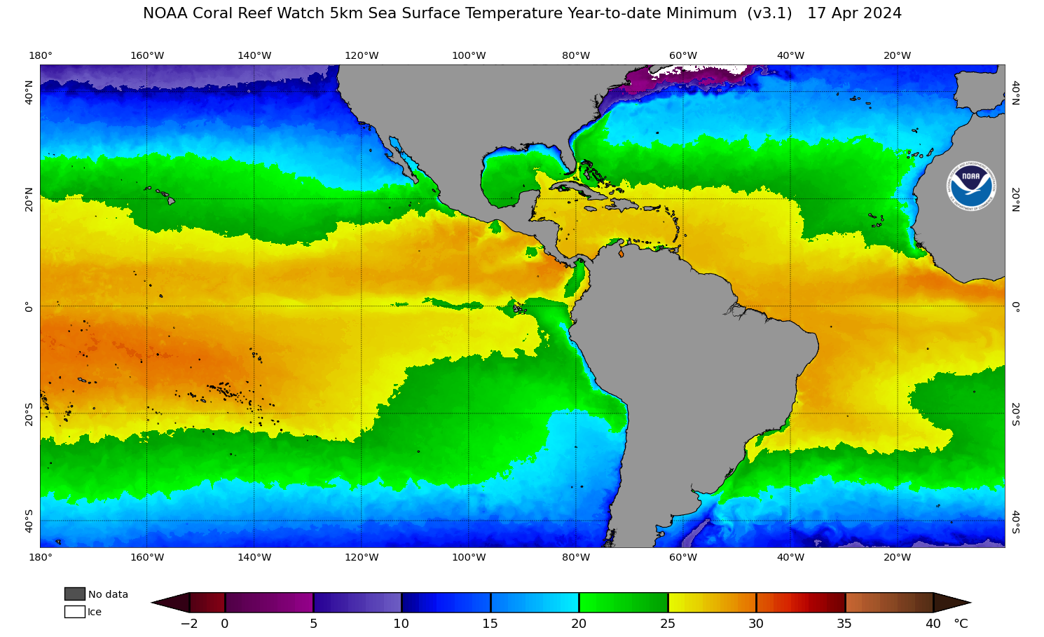
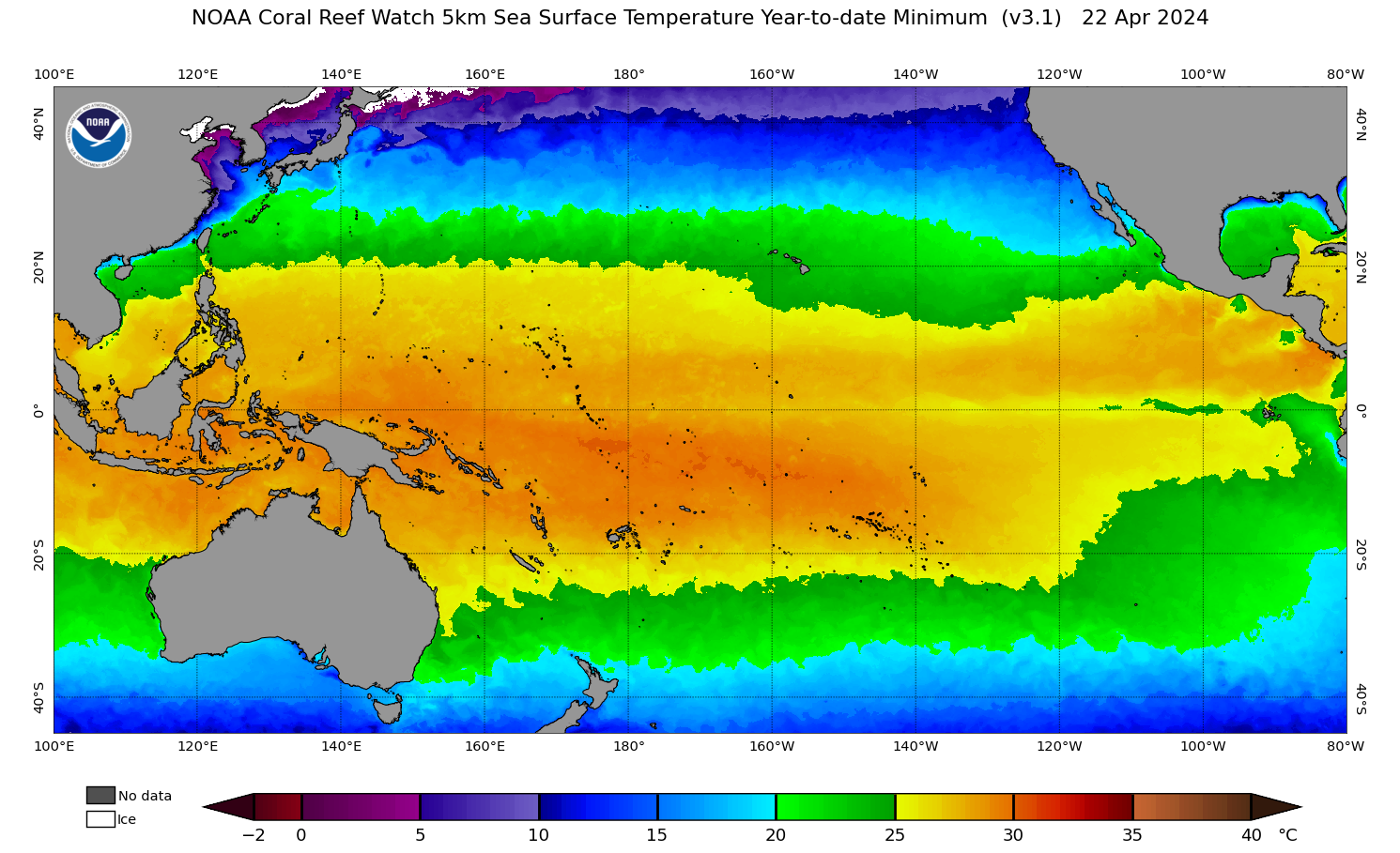
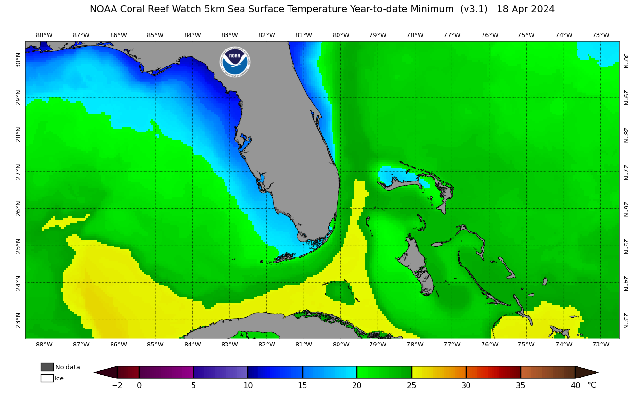
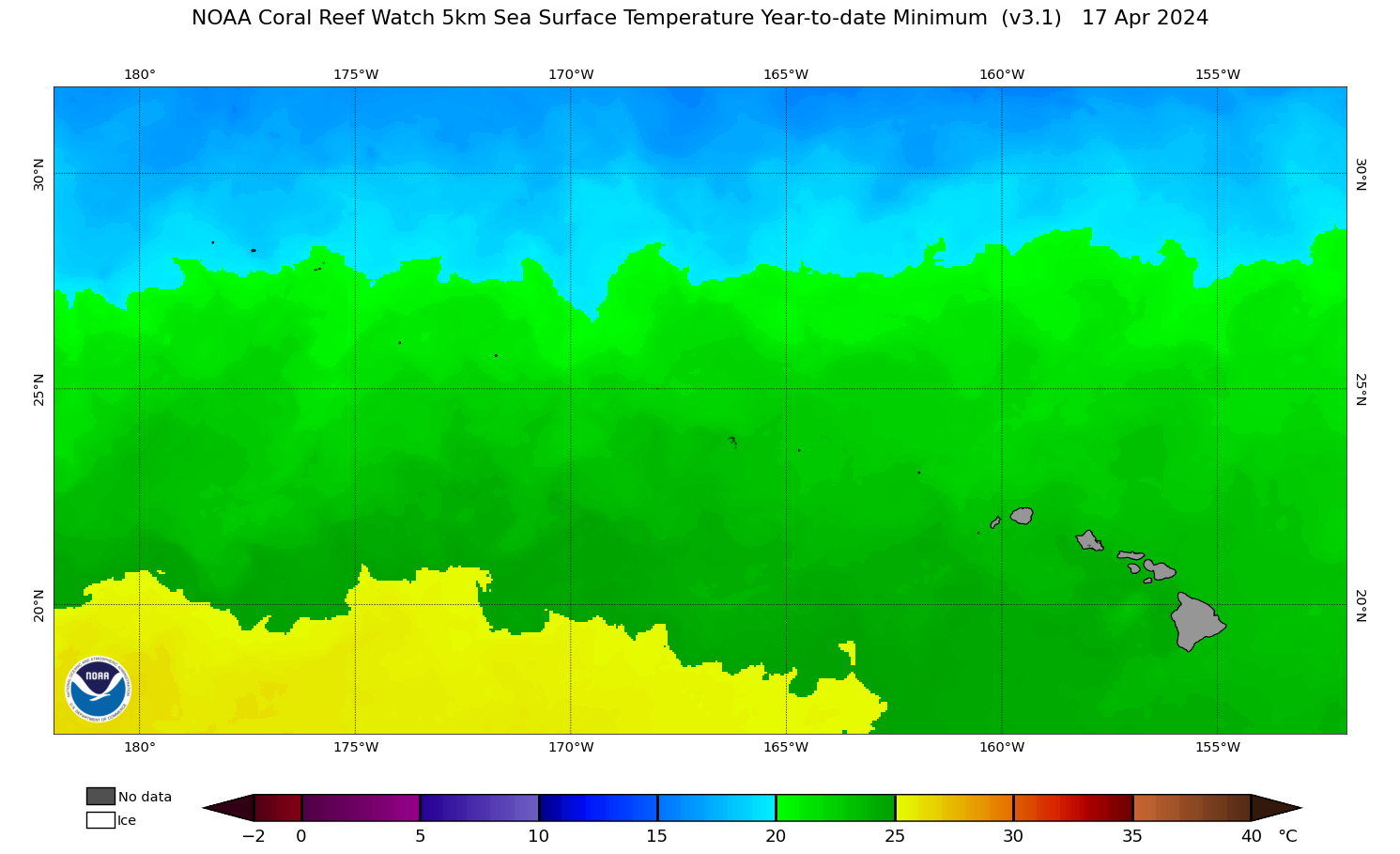
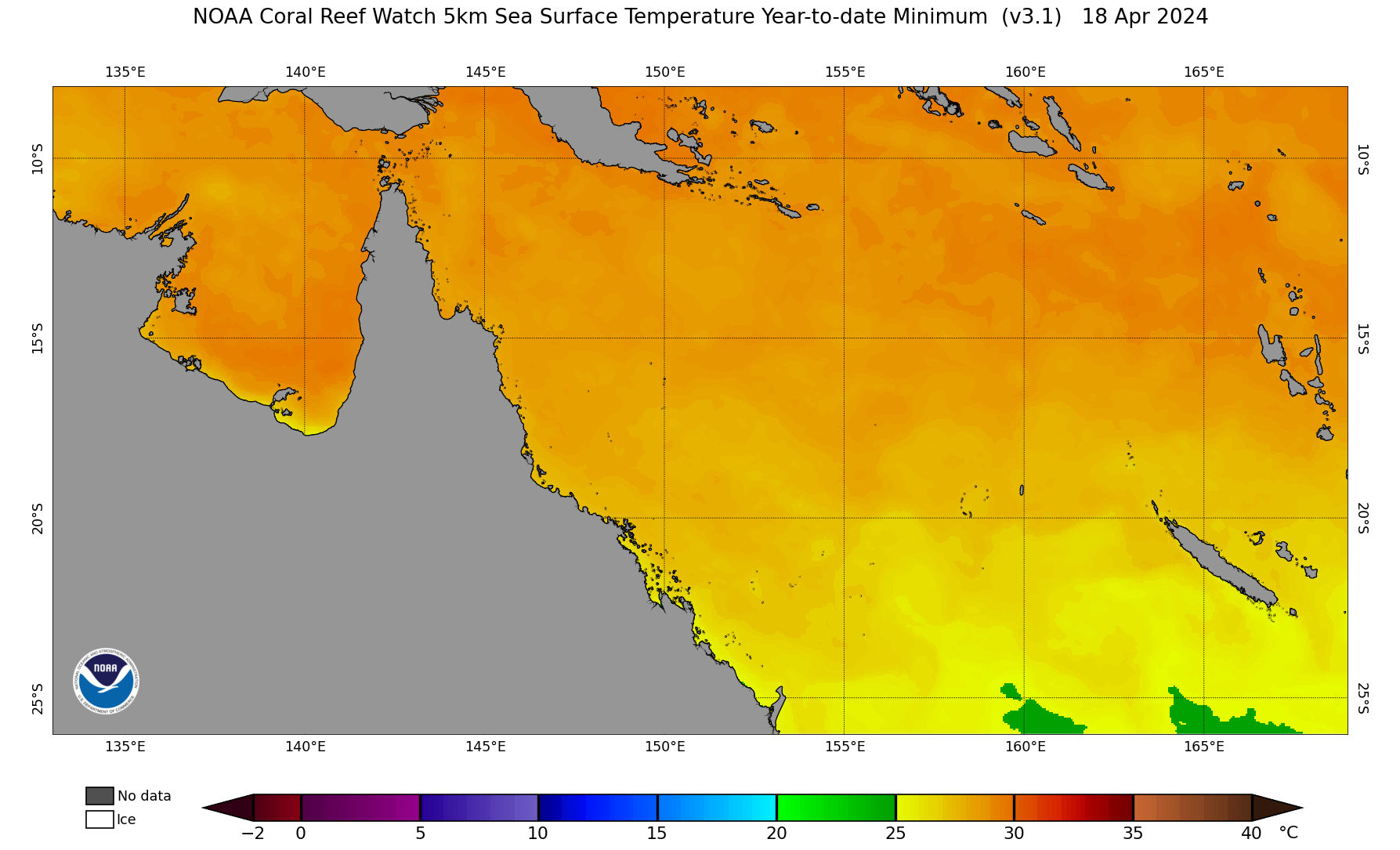
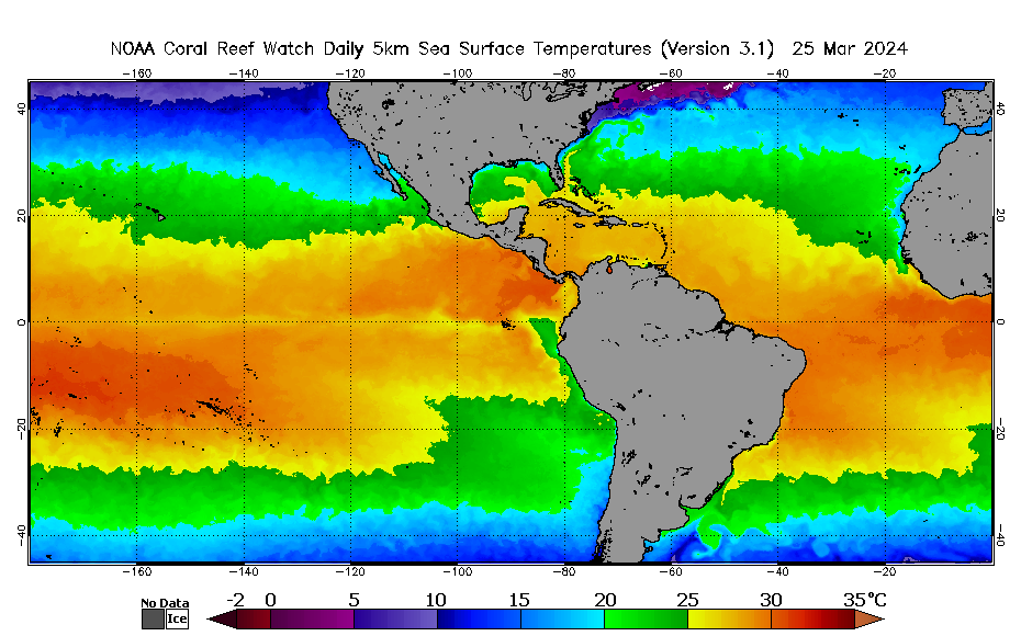
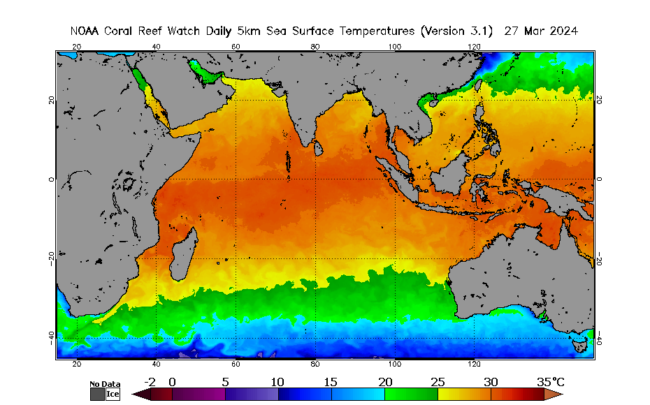
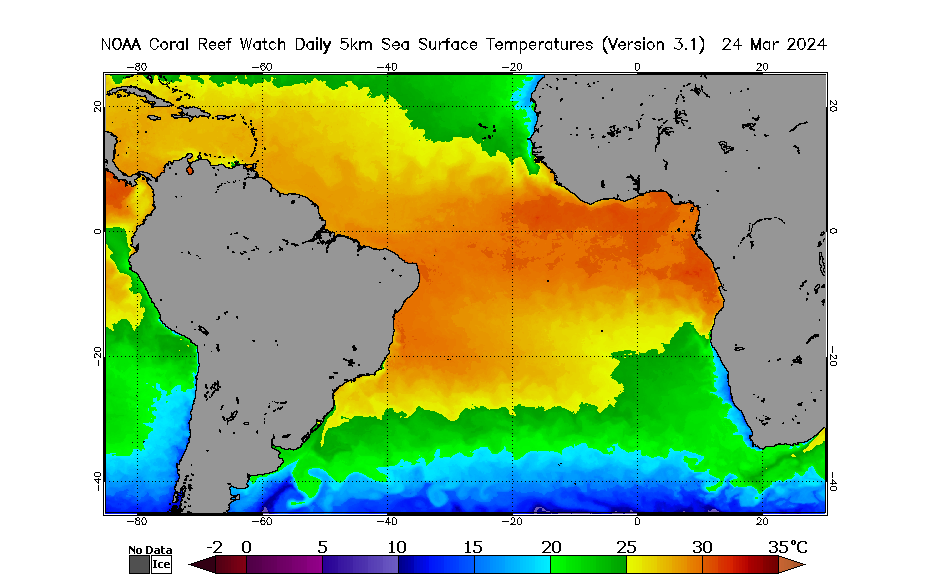
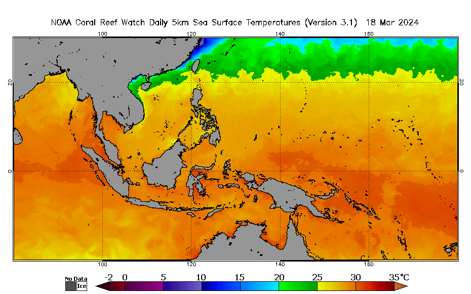
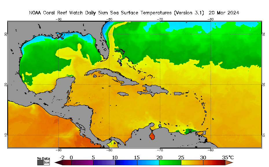
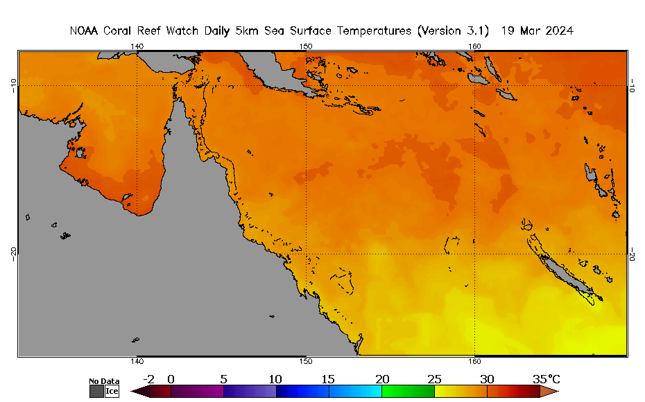
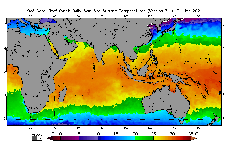
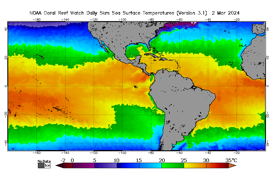
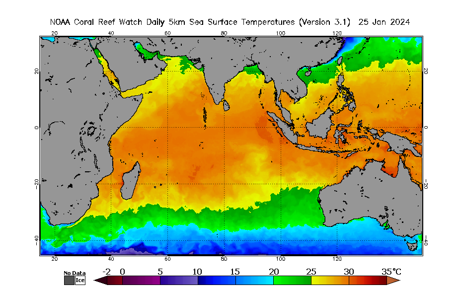
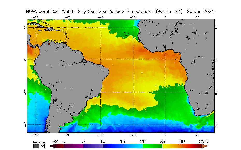
Click on map above to zoom to small 60 x 40-degree tiles; use drop-down menu below to view larger 60 x 40-degree tiles.     
Right-click outside clickable map area to save the image.
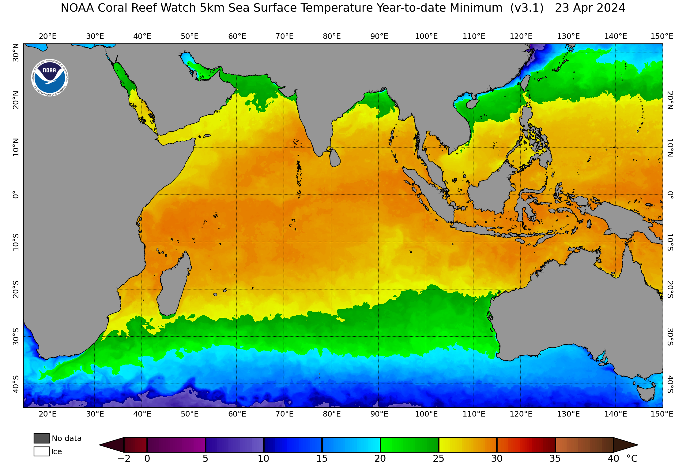
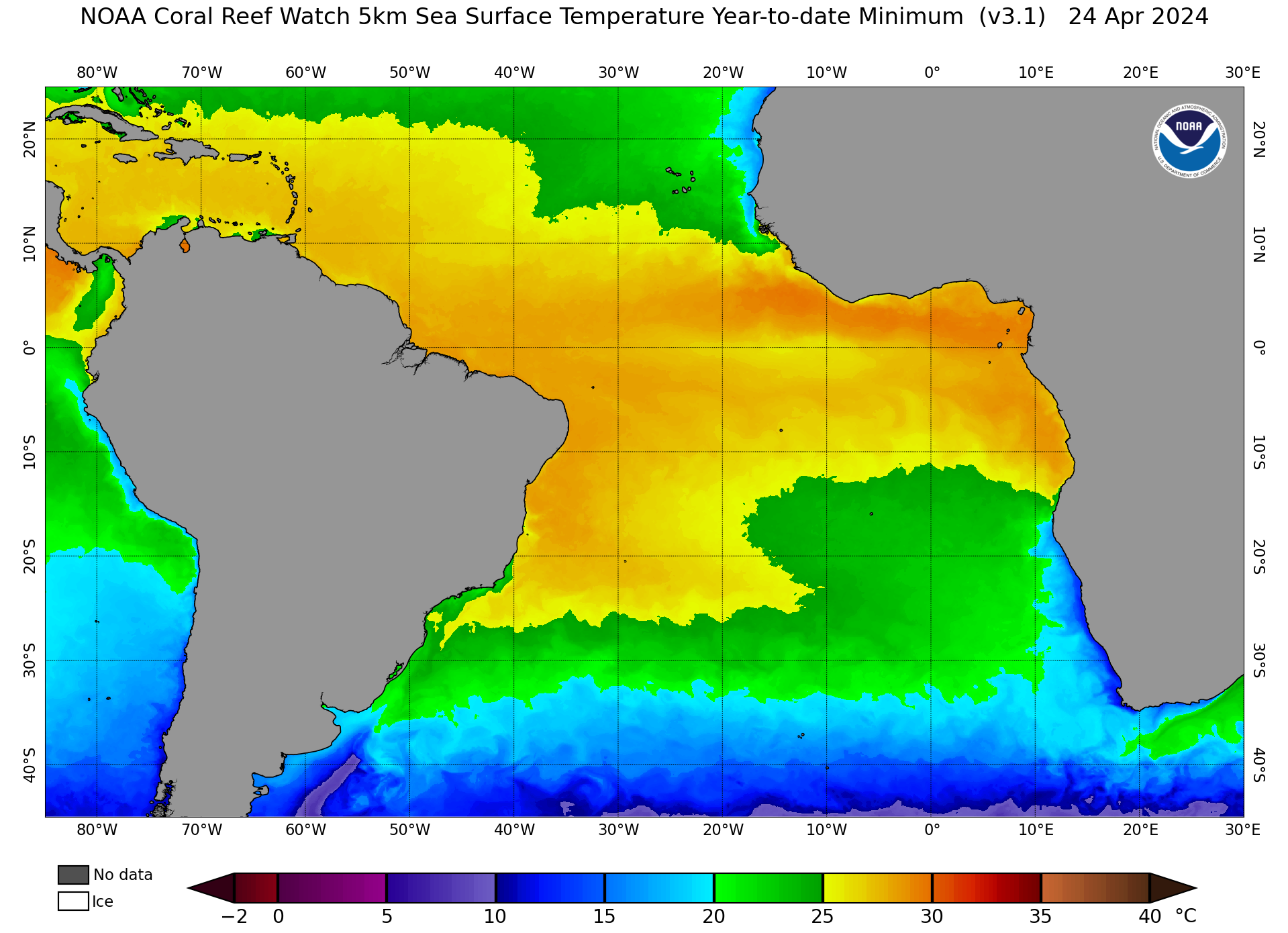
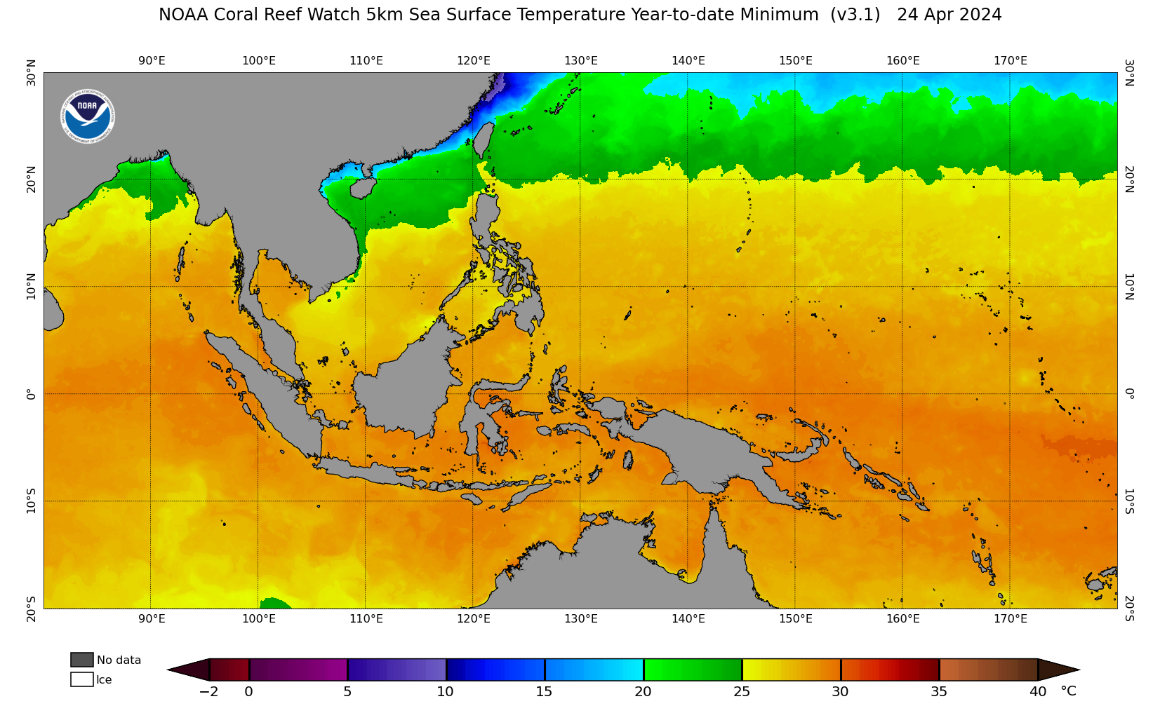
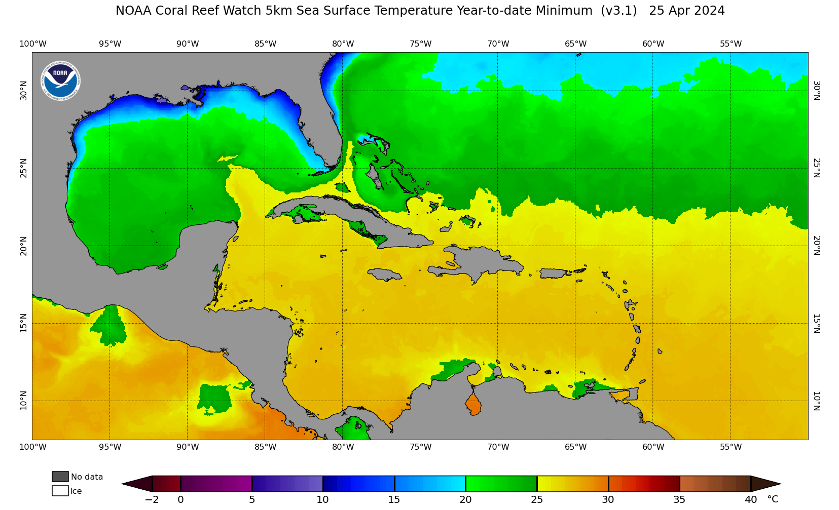
60 x 40-degree tiles (by east/west hemispheres and low/high latitudes, updated daily)
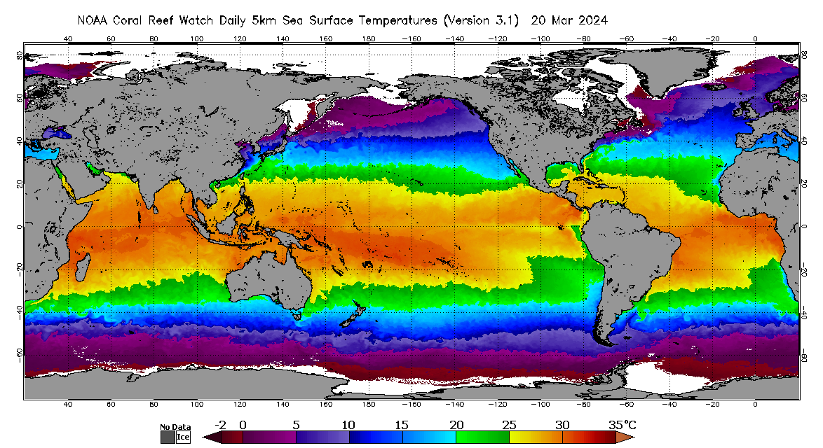
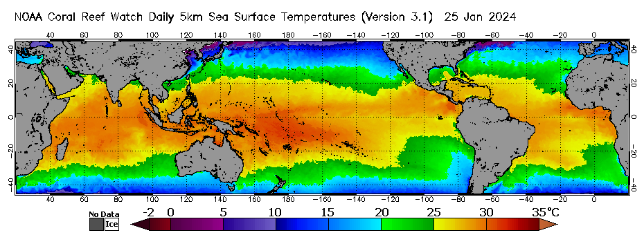
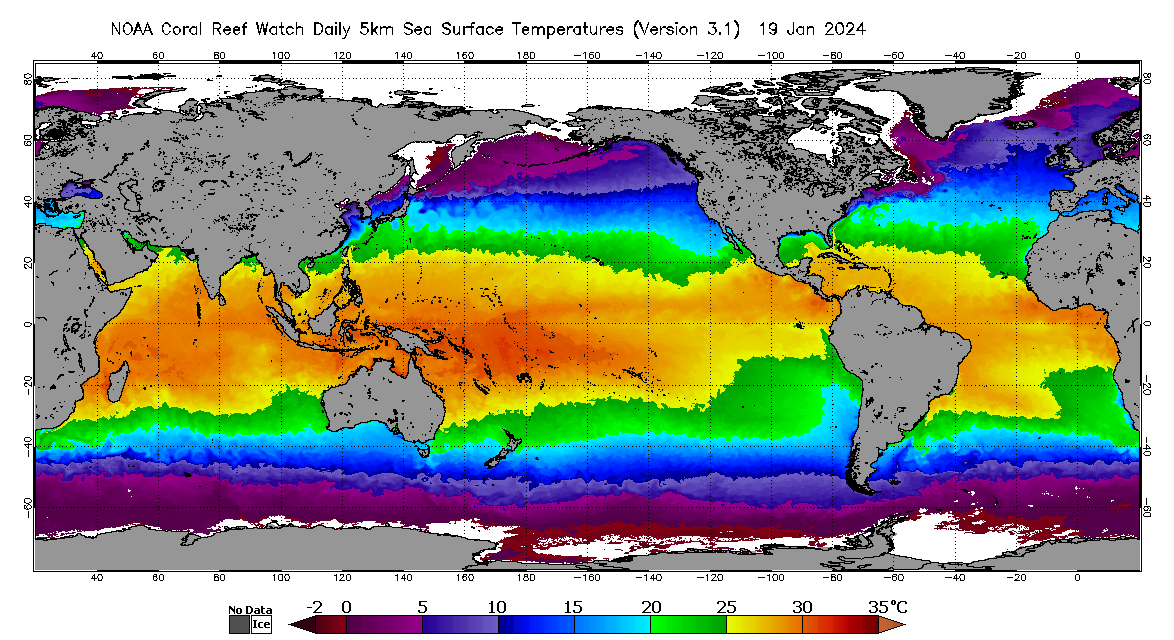
This product is updated each afternoon at about 13:30 U.S. Eastern Time.
Regional chart Regional chart Regional chart Regional chart Regional chart Regional chart Regional chart Regional chart Regional chart Regional chart Regional chart Regional chart Regional chart Regional chart